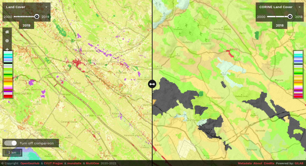
Gilab in collaboration with OpenGeoHub, CVUT Prague, mundialis, Terrasigna, MultiOne has released Open Data Science Europe data portal on 1st of March 2021. It comprises terabytes of gridded data available as Cloud-Optimized GeoTiffs and served via Geoserver. The project will collate, extend, harmonize, integrate, and distribute a wide range of freely available environmental and administrative data for Europe in the years to come. Read more.
Find out more how to access and use this data and what are it’s advantages and limitations: https://maps.opendatascience.eu
