Geoinformatics and GIS
We develop customized solutions based on 2D and 3D spatio-temporal (3D+) data in all formats, applying advanced geoinformatics to deliver customer value.

Web application development
With our complete set of technical expertise (back-end, front-end and database development), we deliver ready-to-use web and mobile application solutions tailored to our clients’ need.
Remote Sensing
Exploitation of optical and radar imagery is the cornerstone of mapping features and monitoring processes on Earth. We make use of remote sensing data, primarily Copernicus open data, to provide cost-effective solutions.

Web Cartography
We provide complete geoportal solutions, presenting spatial information on web and mobile applications. This includes interactive maps, powerful user functionalities for manipulating data visualizations, and web GIS functionality.

Spatial Data Science
Using a comprehensive set of machine learning algorithms and geostatistics, we identify patterns and knowledge in spatio-temporal big data sets and build robust and fit-for-purpose prediction models.

Consulting
We provide data-supported consulting services to a diverse set of clients in the domains of Geoinformatics and GIS, Earth Observation, INSPIRE standards and implementation, modeling and mapping of geospatial phenomena, etc.
Dev ops

ReactJS
NodeJS
OpenLayers

Kotlin

Flutter (Dart)

Python
Django

Flask

PostgreSQL
PostGIS

MongoDB

Redis

Apache
Nginx
GeoDjango
FastAPI
Celery

R shiny
Django Rest Framework

Linux

Docker

Github
GitLab CI

Kubernetes

GKE
Amazon Cognito - AWS

Jenkins

Elastic Search
R
Phyton
Numpy

PyTorch

Scikit-learn
Numpy

Pandas
R - Spatial
GDAL
GeoPandas
Scikit-learn
QGIS
SAGA GIS

GRASS GIS
Cesium
GeoServer

Geonetwork

GeoNode
STAC
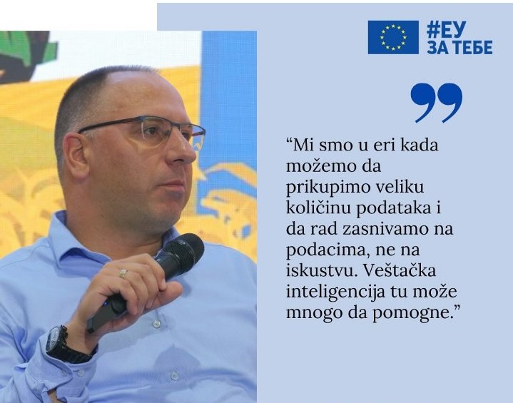
Gilab Co-Founder Milan Kilibarda Speaks on AI in Agriculture at Novi Sad Agricultural Fair
Milan Kilibarda, co-founder of Gilab, recently participated in a panel discussion at
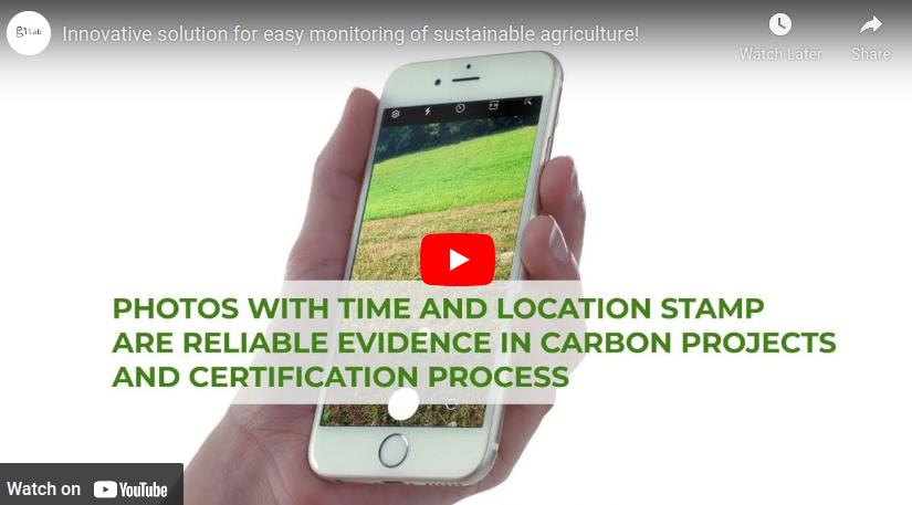
Innovative solution for easy monitoring of sustainable and regenerative agriculture
Introducing an innovative solution that makes monitoring and certification of regenerative agriculture
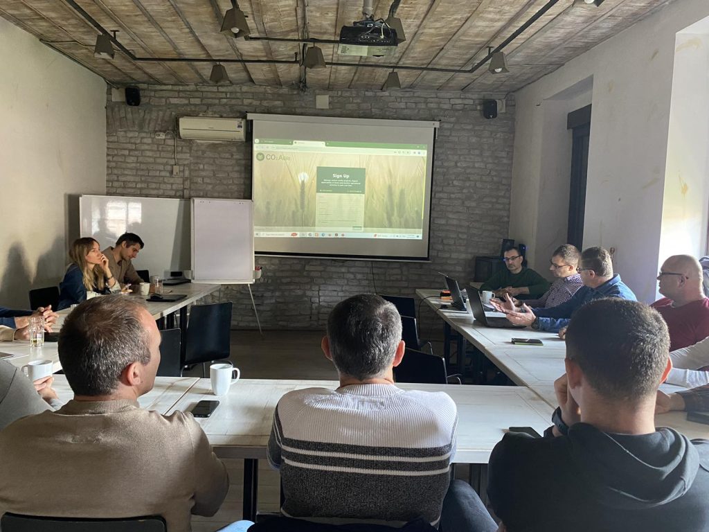
Digital technologies in the service of regenerative agriculture
On the 12th of December a workshop and training for regenerative farmers