DailyMeteo: High-Res Meteorological Data at Your Fingertips
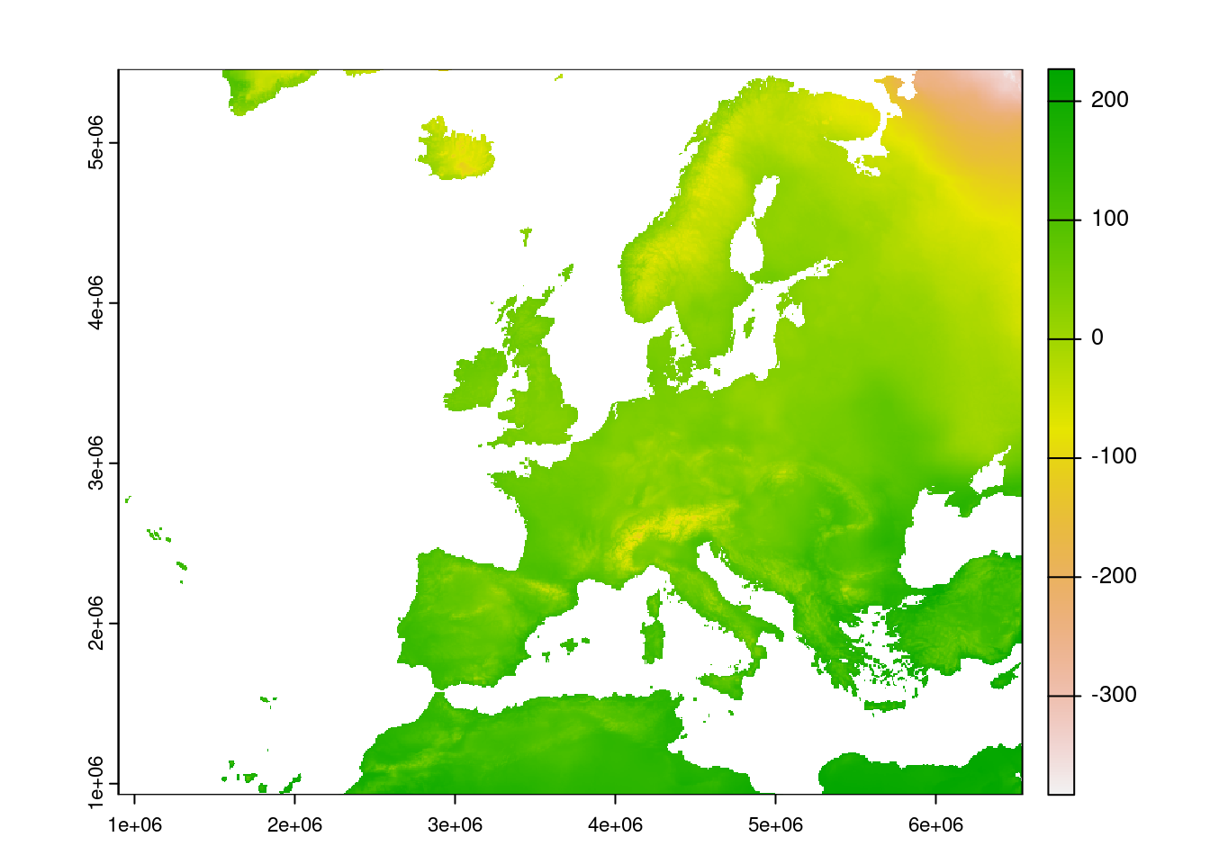
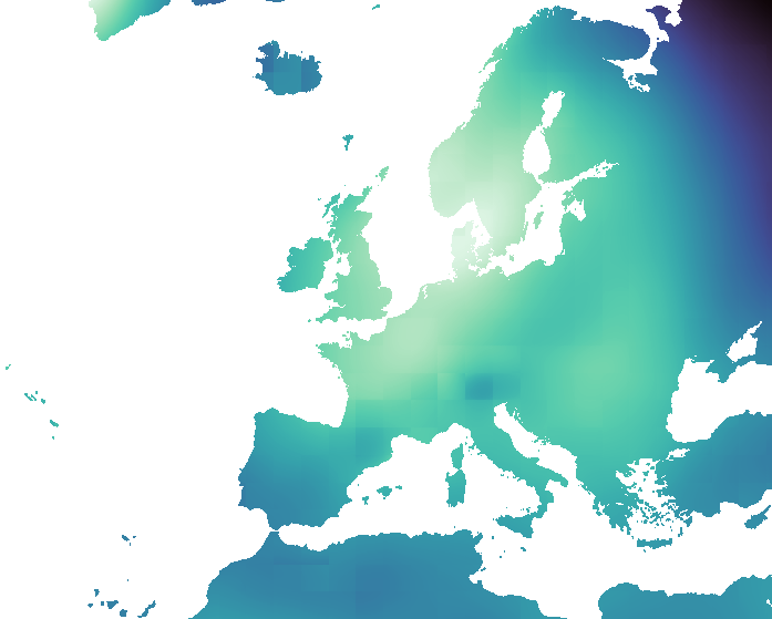
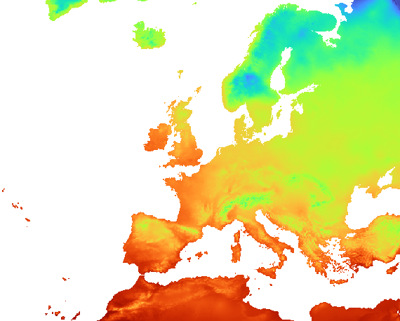
DailyMeteo provides access to high-resolution meteorological data with a spatial resolution of 1 km for Europe and the world. Using advanced geostatistics and machine learning, we process data from sources like GHCN-daily, ECA&D, OGIMET, and GSOD.
Our platform operates in near-real-time, offering monthly and annual summaries and long-term mean products for climate analysis. The DailyMeteo WEB GIS portal adheres to OGC standards, enabling users to explore meteorological maps seamlessly.
In addition to visualization, DailyMeteo offers GIS tools, point queries, and the option to download meteorological maps in COG format. Experience the future of meteorological data analysis with DailyMeteo: Visit DailyMeteo for Cloud-optimized Geotiff data for Europe from 1991 to 2020.