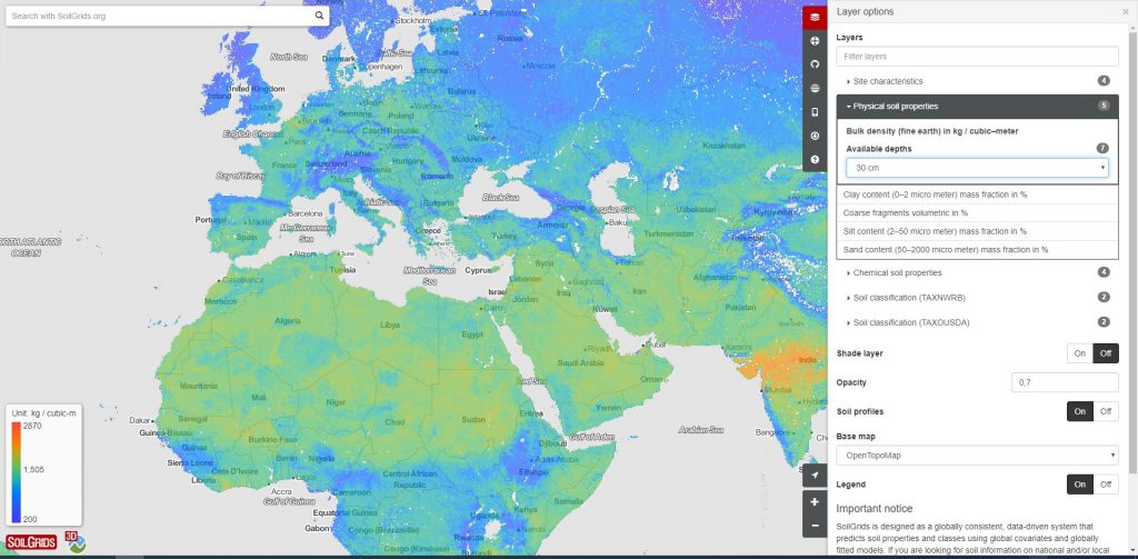
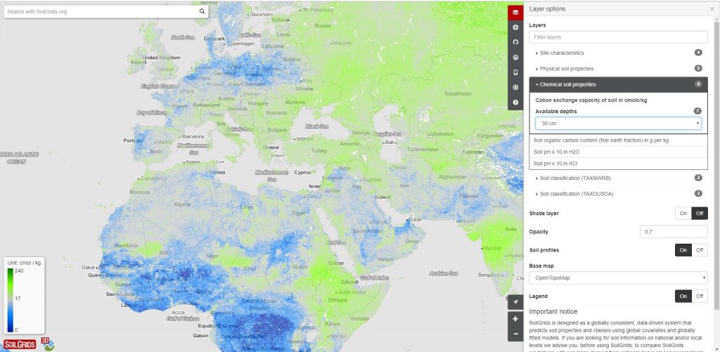
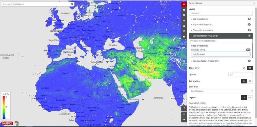
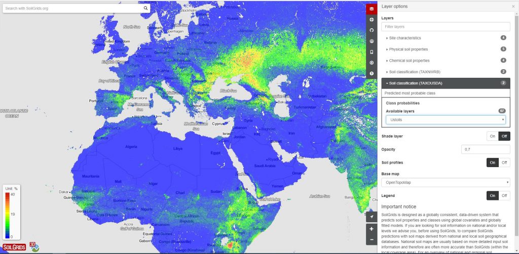
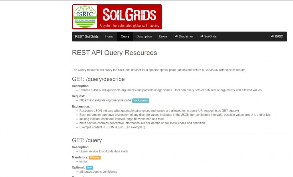
GILAB team made web mapping client for “Soil property maps at 250 m” based on the AngularJS and OpenLayers, 3D client based on the CesiumJS. We made upgrade of REST SoilGrids API. We implemented OGC web mapping services based on the Geoserver, download functionalities based on the Rasdaman and FTP, metadata catalog based on the Geonetwork.
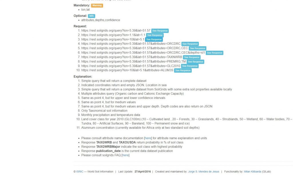
GILAB team made web mapping client for “Soil property maps at 250 m” based on the AngularJS and OpenLayers, 3D client based on the CesiumJS. We made upgrade of REST SoilGrids API. We implemented OGC web mapping services based on the Geoserver, download functionalities based on the Rasdaman and FTP, metadata catalog based on the Geonetwork.