Geo-harmonizer – Gilab team has developed an application and services
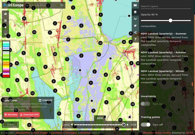
Gilab in collaboration with OpenGeoHub, CVUT Prague, mundialis, Terrasigna, MultiOne has released Open Data Science Europe data portal on 1st of March 2021. It comprises terabytes of gridded data available as Cloud-Optimized GeoTiffs and served via Geoserver. The project will collate, extend, harmonize, integrate, and distribute a wide range of freely available environmental and administrative data for Europe in the years […]
DIONE Toolbox
How important is the role of the paying agencies for the development of the DIONE Environmental Performance tool? The paying agencies National Paying Agency of Lithuania(NPA) and Cyprus Agricultural Payments Organization (CAPO) are responsible for the collection of data, regarding farmers’ declarations about areas, which are fully converted to organic farming, areas which are under conversion to organic farming […]
AgriCapture – Developing EO-powered services to promote soil carbon sequestration through regenerative agriculture
Accounting a climate footprint is an established practice. However, accounting for C capture is largely based on manual methodologies that cannot be easily scaled. The consortium has found a strong market need for a streamlined solution that can be scaled to meet the growing needs of C capture from Land Use, Land Use Change, and […]
iSDAsoil
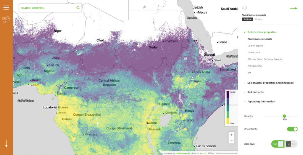
GILab team participated in the project – iSDAsoil, more precisely, GILab team developed a Web GIS solution that provides soil information for the African continent. The developed GIS solution consists of (1) Web mapping application, that enables visualization of multiple soil-related spatial data and querying specific locations for each dataset and (2) REST API that […]
Gilab takes part in PARSEC Accelerator
We are happy to announce that Gilab has become a part of this project. PARSEC has indirectly received funding from the European Union’s Horizon 2020 research and innovation program, via an Open Call issued and executed under project PARSEC (grant agreement No 824478).
Croplab was presented on BITF meetup
Last week We were one of four startup contestants who had an opportunity to present innovative solutions on which we are working. The meeting was hosted at the Faculty of Technology and Metallurgy, organized by the Business Technology Incubator of the Faculty of Engineering (BITF). Gilab team presented our software solution, Croplab – a personal […]
Geobiz project officially started
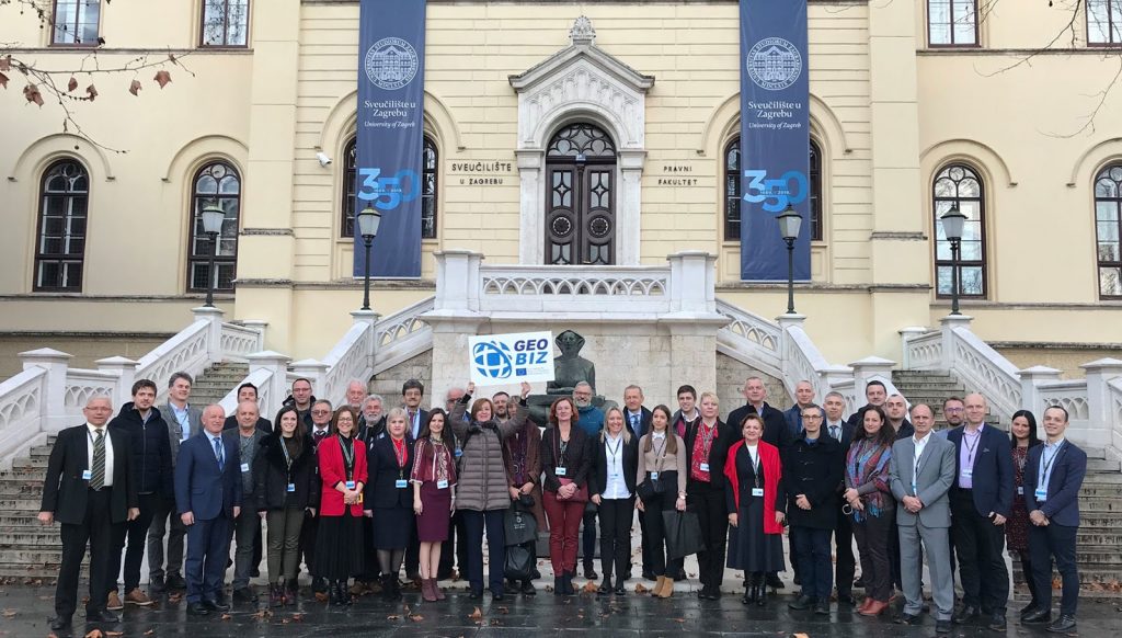
Geobiz project officially started with the kick-off meeting in Zagreb from 4th to 6th of February. Our aim, as partners, in this project is to provide and share valuable experience and information from the business sector in the scope of Geoinformatics. During the kick-off meeting, We tried to explain how important the geospatial service-oriented industry […]
GEOBIZ: Strengthening the capacity of academic institutions to better meet the needs of emerging geoinformatics industries in the Western Balkan countries and Moldavia
GEOBIZ is an Ersamus project aiming at: Establishing new and innovative forms of business-academic collaboration to support interaction in geoinformatics teaching / learning processes. Establishing a business academy platform that supports excellence in geoinformatics. Developing innovative teacher training programs and hands-on teaching / learning methodologies and content in technology-based geoinformatics courses, drawing on business-based needs […]
CropLab presented in JRC, Ispra
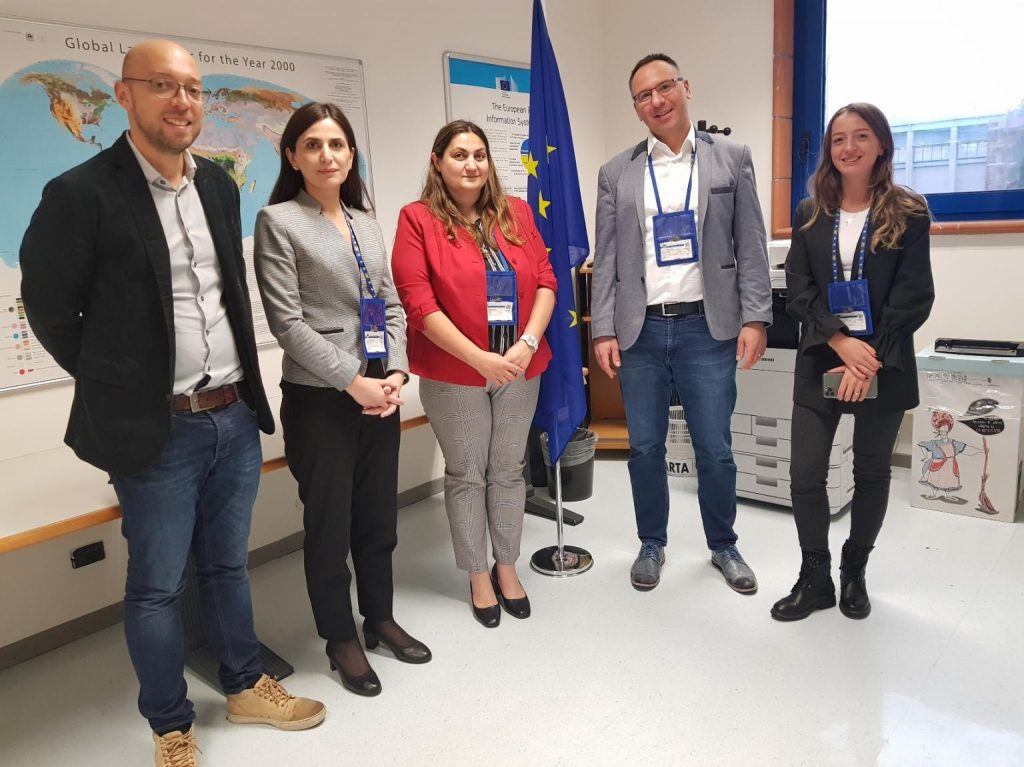
CropLab platform was successfully presented today at the Joint Research Centre by our CEO Dr. Milan Kilibarda.
We had the honor to receive the visit of Belarusian Minister for Science at our office at Belgrade Science Park
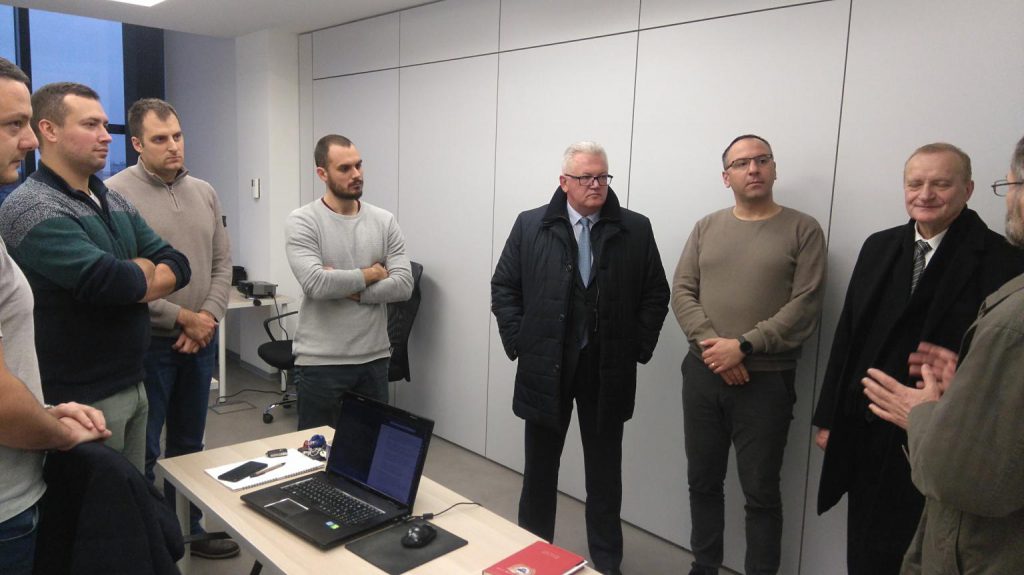
Yesterday we had the honor to receive the visit of the Belarusian Minister for Science at our office in Belgrade Science Park. He was particularly interested in our flagship product Croplab and its many benefits for farmers and agricultural companies! Also, we discussed the vast potential of EO and GIS in several sectors, especially in […]